
Last updated: October 11, 2024
In Brief
National Geographic Society
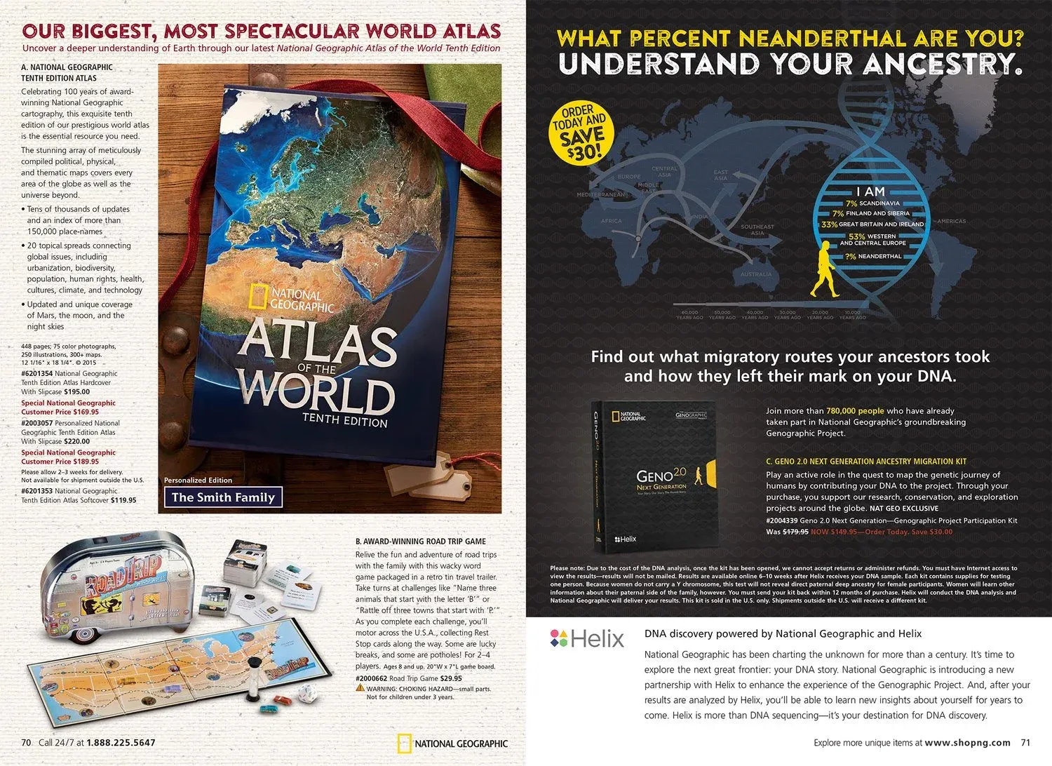
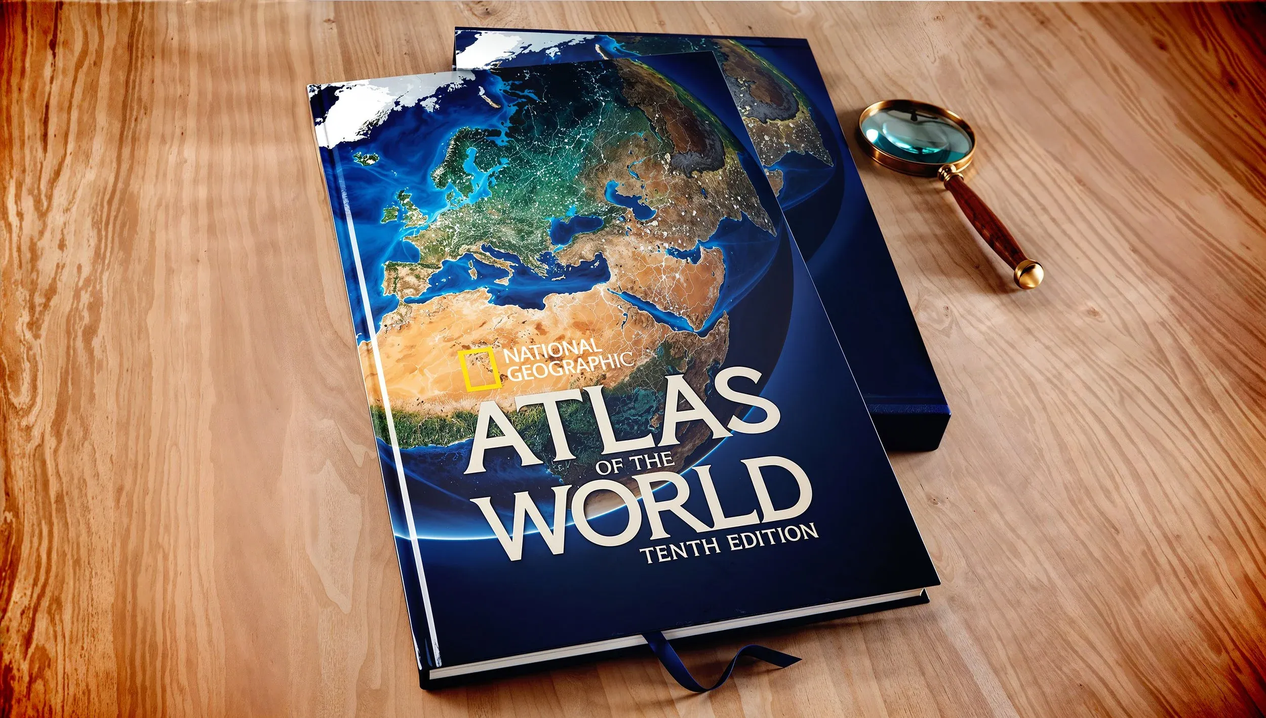
Atlas of the World 10th Edition
We are proud to have created the cover image and several double-page maps for the Atlas of the World 10th Edition, a project of great significance as it marks the 100th anniversary of National Geographic Maps. Our collaboration on this landmark edition allowed us to contribute to one of the most visually compelling and authoritative atlases ever produced, seamlessly blending our artistic vision with National Geographic’s long-standing tradition of scientific rigour and exploration. This milestone atlas is not just a celebration of mapping history, but a tribute to the evolving art and science of understanding our world.
We also had the honour of creating the covers to the National Geographic Family Reference Atlas of the World 4th Edition, the Compact Atlas of the World 2nd Edition, and the Concise Atlas of the World 4th Edition.
The content displayed here, including images and maps, is copyrighted by National Geographic and is presented under the provisions of 17 U.S. Code § 107 (“Fair Use”) for the purposes of portfolio display and professional showcase. This use is limited to non-commercial, transformative purposes, without impacting the market value of the original work. All rights to the original materials remain with National Geographic, and no further reproduction or distribution is permitted without explicit permission from the copyright holder.

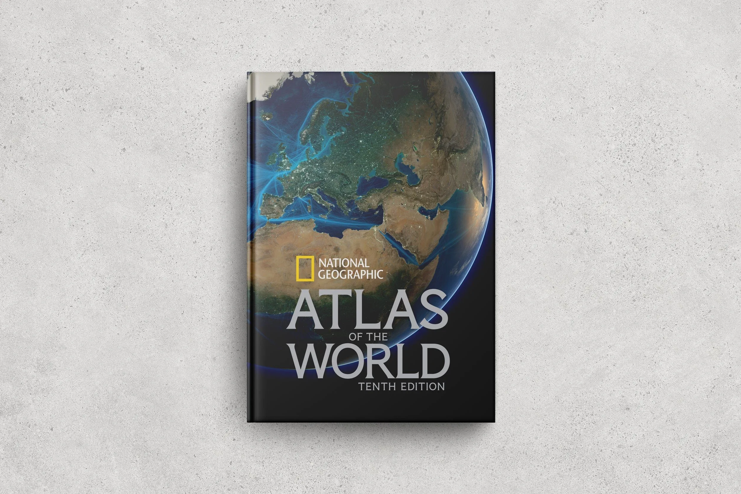
Atlas of the World 10th Edition — Advertisement and cover, celebrating the 100th anniversary of National Geographic Maps
Interior spreads and GLOBAÏA cartography for the Atlas of the World 10th Edition
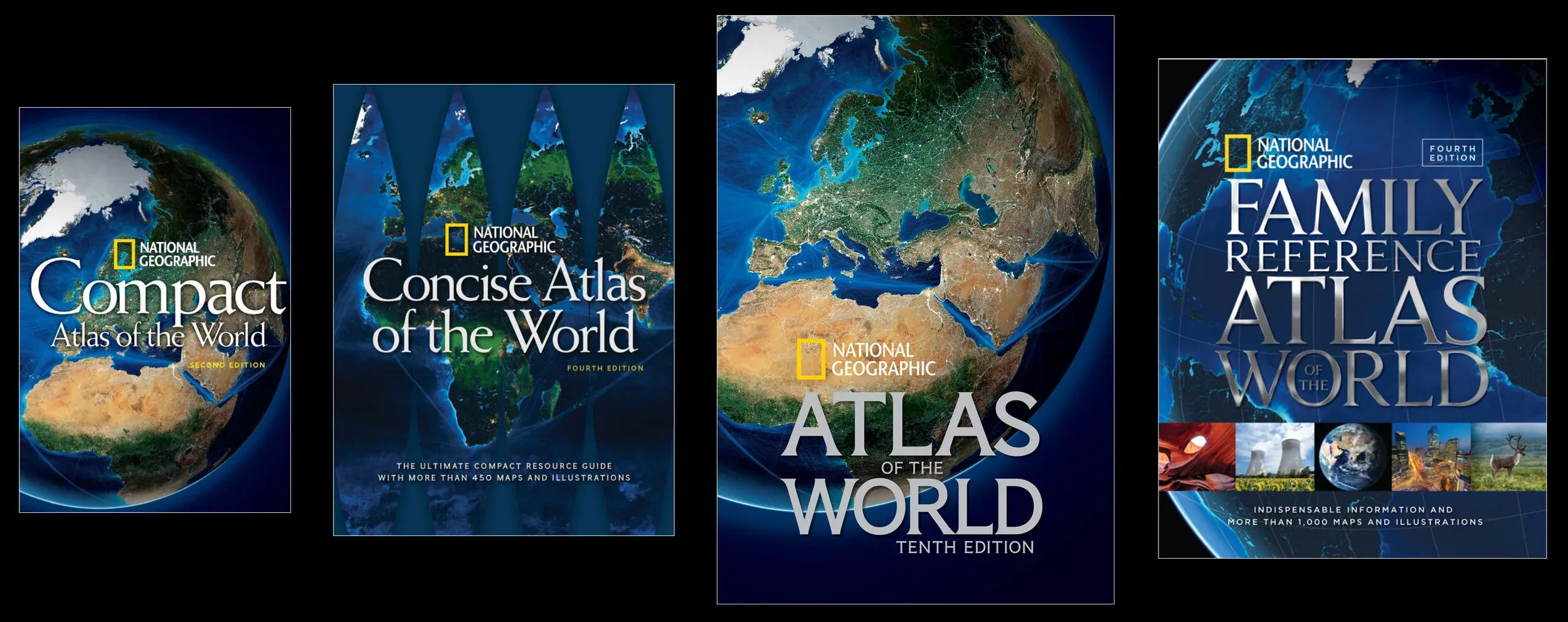
National Geographic atlas covers created by GLOBAÏA — Family Reference Atlas 4th Edition, Compact Atlas 2nd Edition, Concise Atlas 4th Edition
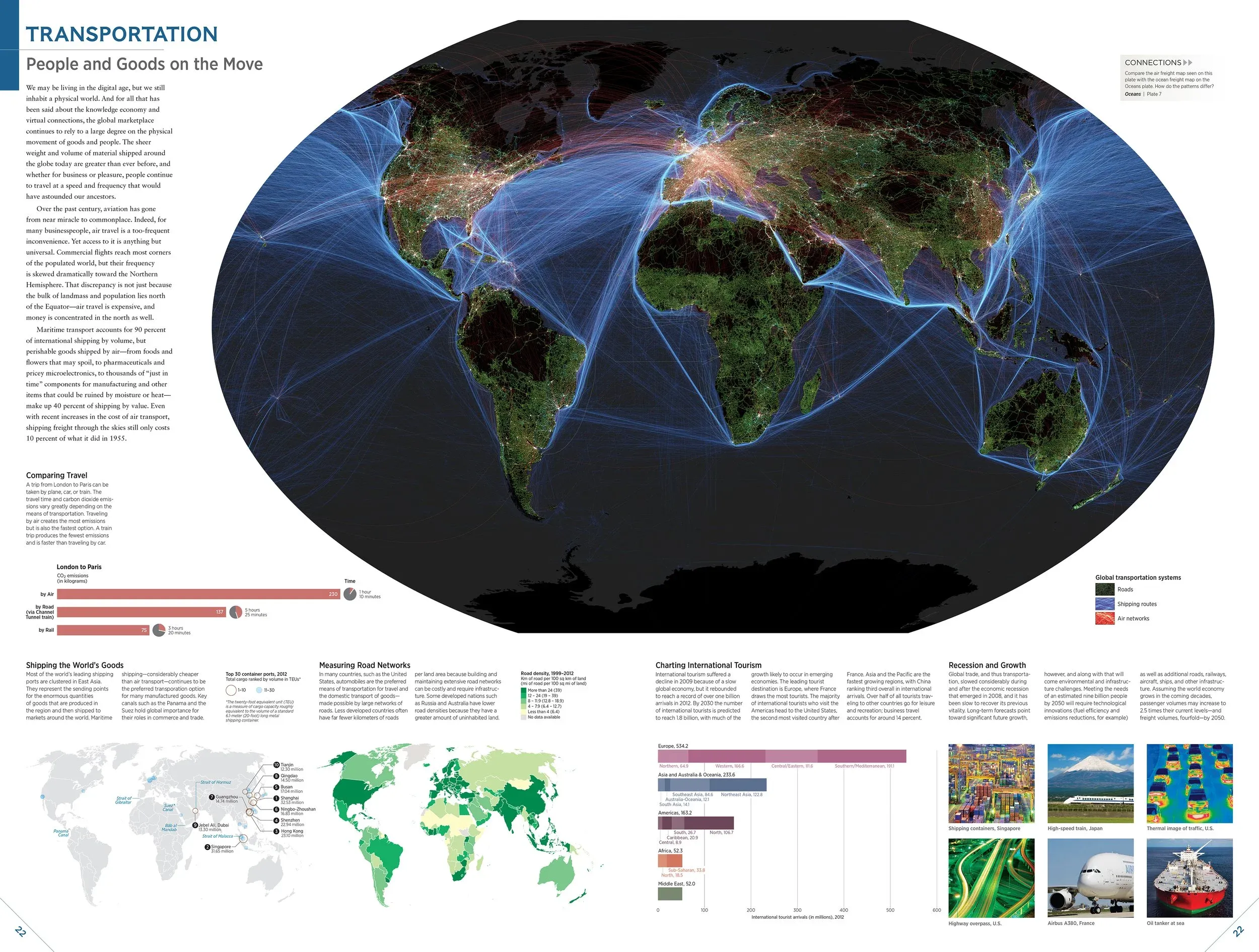
Double-page map spread from the Atlas of the World 10th Edition